West Florida V2 3D Relief Shading CMOR Card
West Florida V2 3D Relief Shading CMOR Card
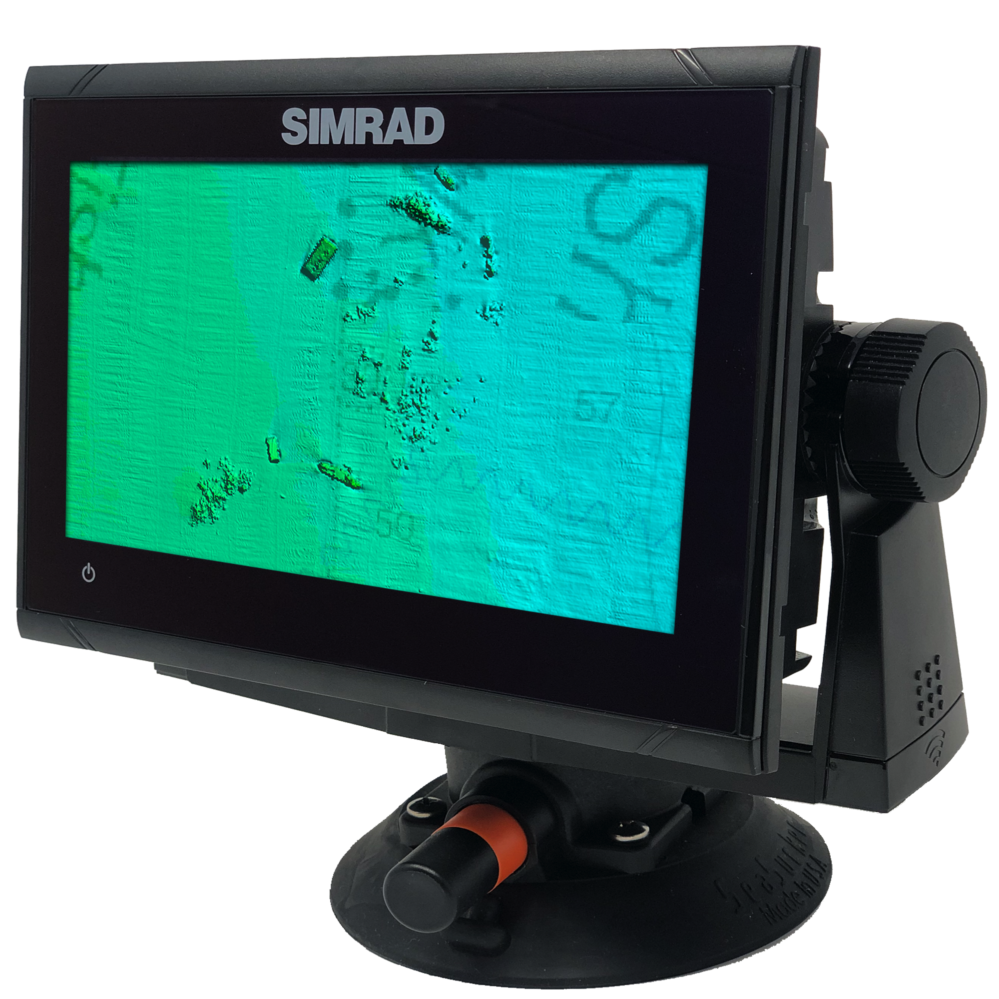
The new West Florida V2 3D Relief Shading CMOR Card — a major expansion and update of the previous West Florida (Middle Grounds) CMOR Card — features major expansions of nearshore and deep drop spots, along with privately collected data from the St. Joseph Peninsula in the panhandle to Marco Island in southwest Florida. These additions have been mapped in high resolution for the first time, and exclusively on CMOR Mapping.
All CMOR Cards with the exception of Furuno are provided on Micro SD cards with a standard SD adapter included.
Furuno customers: Instead of a physical card, you will receive an unlock code to access CMOR imagery on your device. Your NavNet system ID is required in order to generate the unlock code.
Coverage Map
Video Walkthrough
Please note that video shows an earlier version of this CMOR Card.
Compatibility Solutions
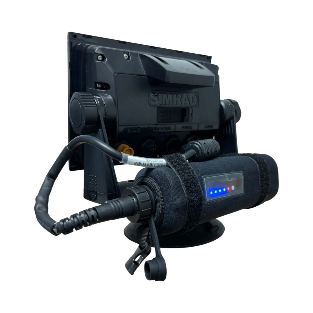
Our CMOR Map Paks include everything you need to use CMOR Cards on any vessel: a Simrad or Raymarine touchscreen chartplotter with built-in antenna, a SeaSucker suction mount, a Marinco 12V plug, a 110V to 12V power adapter, and a custom-fit waterproof hard case.
For Garmin vessels, our Simrad NSO Processor Kit unlocks full touch integration of CMOR Mapping on your GPSMap 8400 or 8600-series unit.
In Stock
FREE delivery next business day within Florida if ordered by 3 p.m. Eastern time. Ships FREE today (details) if ordered in the next:
West Florida V2 CMOR Mapping Card highlights:
Blanket coverage up to 25 miles offshore from Cedar Key to Tarpon Springs.
New live bottom and ledges out of the “Big Bend” as shallow as a few feet of water and as deep as 70 feet.
Expanded coverage west of the Florida Middle Grounds.
Added the Northernmost part of the “Sticky bottom”.
Extended coverage south of the elbow, as well as all new data exposing new bottom at the 40 break out of Naples.
Shallow water grouper rockpiles out of Crystal River from 10 to 60 feet of water.
New Coverage starting right off the beach from Port St. Joe to Horseshoe Cove.
Expanded St. Joseph Peninsula nearshore and deep drop coverage beyond Twin Ridges and Madison Swanson
New live bottom in 40-60 ft of water from Cedar Key to Tarpon Springs.
Big Bend exclusive data starting 25 miles offshore Alligator Harbor with spots ranging from 5 to 11 fathoms.
Expansion northwest of the Middle Grounds ranging from 19 to 32 fathoms, in addition to the existing data of over 1,000 square miles of coverage ranging from 75’ to 225’
Over 55 square miles of coverage of The Elbow with depths ranging form 144’ to 215’
Expansion of Clearwater nearshore including shoreline data, 21’ bottom only 4 miles offshore, and new spots ranging from 6 to 10 fathoms in addition to over 20 square miles of data ranging from 38’ to 55’
The 40 break from Twin Ridges to Steamboat Lumps.
Tampa includes bay channel and targeted wreck, structure and pipeline data from Pendola Point to over 30 miles offshore with coverage in depths ranging from the shoreline to over 19 fathoms
New Pass through Stump Pass features shoreline data to 28’, spots ranging from 27’ to 45’, and spots over 19 miles offshore in depths ranging from 65’ to 80’
Boca Grande Pass includes 2.5 miles of Charlotte Harbor to over 4 miles offshore Boca Grande Pass with depths ranging from the shoreline to 69’ at the tarpon fishing hole
Sanibel Island through Marco Island now features shoreline and privately collected data on some of the best fishing spots up to 35 miles offshore with depths ranging from the shoreline to over 50’ and spots such as the 7’ ledge to deep holes over 66’ deep
CMOR Cards are Compatible with the Following Devices:
-
NSS
NSS evo2
NSS evo3
NSS evo3 S
NSE
NSO
NSO evo2
NSO evo3
NSO evo3 S
GO XSE
GO XSR
NSX
NSX ULTRAWIDE
-
HDS PRO series
Elite FS series
HDS LIVE series
HDS Gen1 series
HDS Gen2 series (both keypad and touchscreen)
HDS Gen3 series
HDS Carbon
Elite HDI series
Elite CHIRP series
Elite Ti series
-
502
702
703
903
-
CMOR cards are compatible with all units capable of running the Lighthouse II, Lighthouse 3, Lighthouse 4 and Sport interfaces. In order to support CMOR Mapping, units must have at least v17 software installed. Units include:
Axiom Series
Axiom Pro
Axiom XL
AXIOM 2 PRO RVM
AXIOM 2 PRO S
AXIOM 2 XL
Hybrid Touch
aSeries
cSeries
eSeries
eS Series
gS Series
Dragonfly Series
Element S
ELEMENT HV
-
CMOR imagery is compatible with Furuno NavNet TZtouch2 and TZtouch3 multifunction displays (MFDs) with software version 6.23 or above.
CMOR imagery for Furuno is not sold as a physical card. Instead, it is preloaded on your MFD and accessed via an unlock code. After you purchase, you'll need to provide your system ID to CMOR vie email. You will then receive a unique code to unlock the imagery on your MFD.
NavNet TZtouch2
NavNet TZtouch3
TZT2 Blackbox
TZT3 Blackbox
TZTL12F
TZT14
TZTL15F
TZT9F
TZT12F
TZT16F
TZT19F
TZT22X
TZT24X
-
Zeus
Zeus Touch
Zeus2
Zeus3
Vulcan
-
Full touch integration of CMOR Mapping is possible on Garmin GPSMap 8400, 8600 and 9000 series units with the use of our Simrad NSO EVO2 Processor Kit.


