Advanced Marine Technology
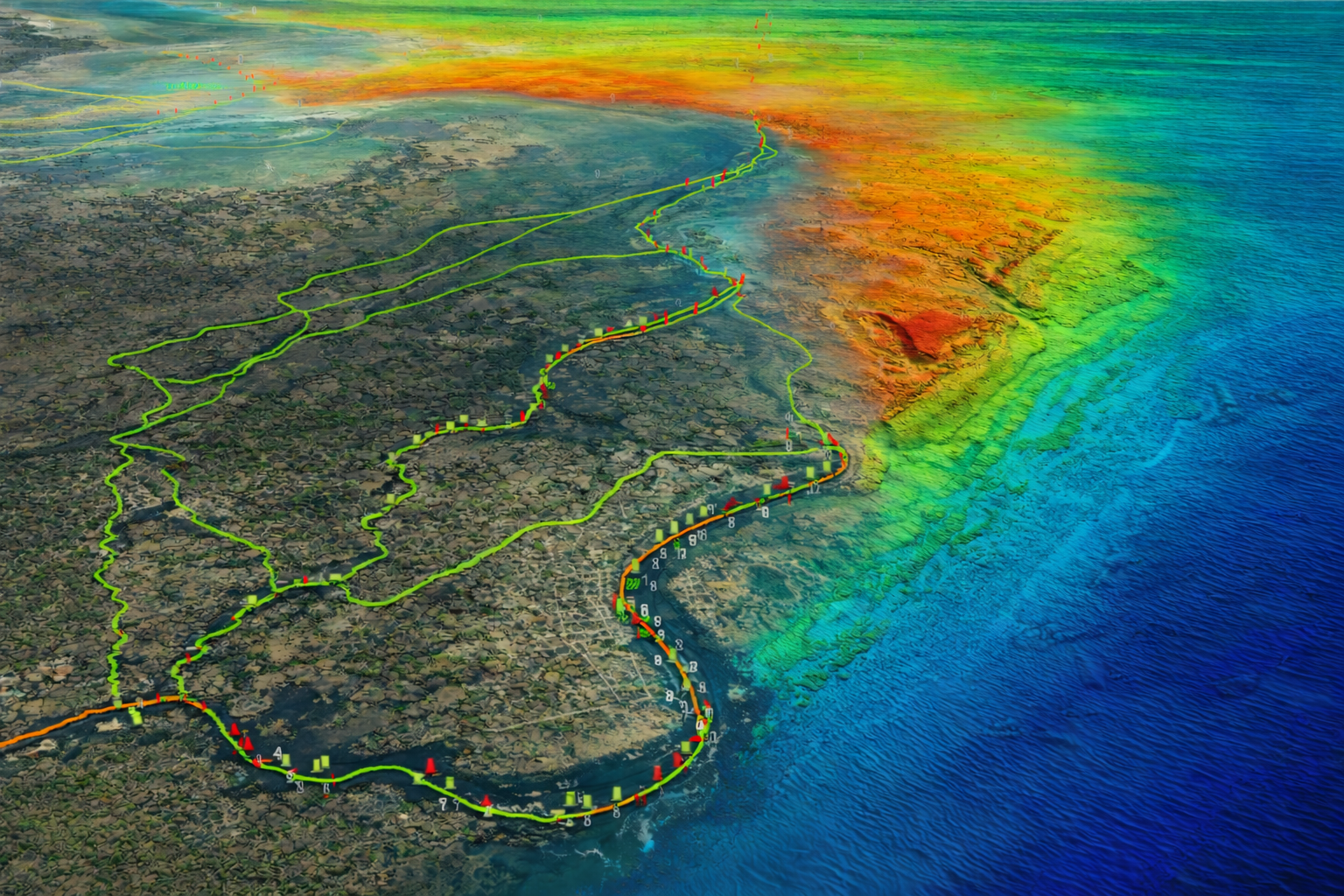
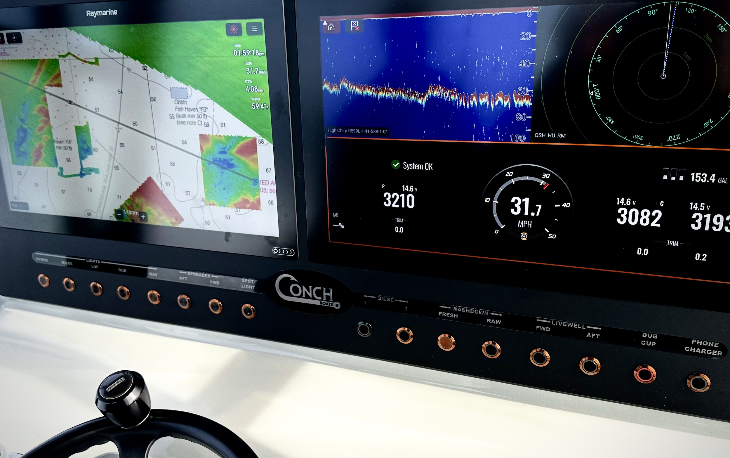
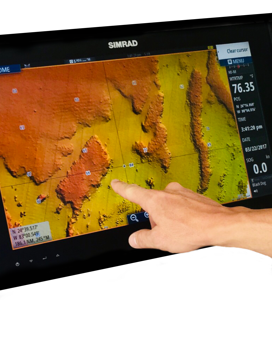
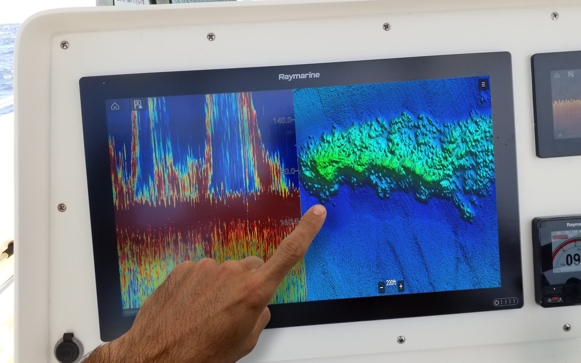
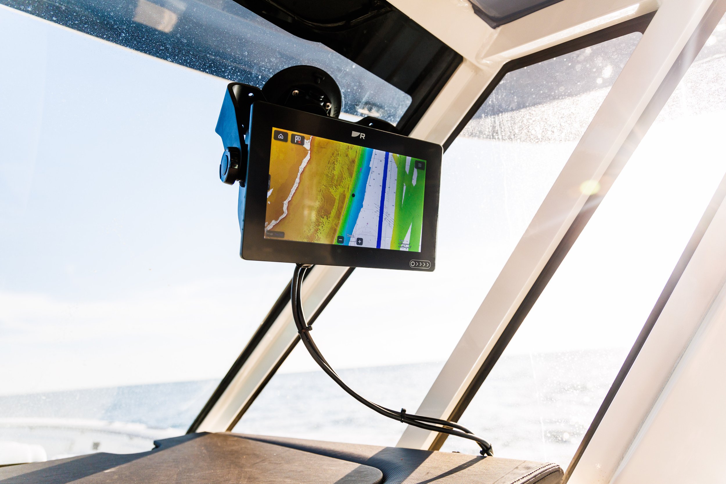
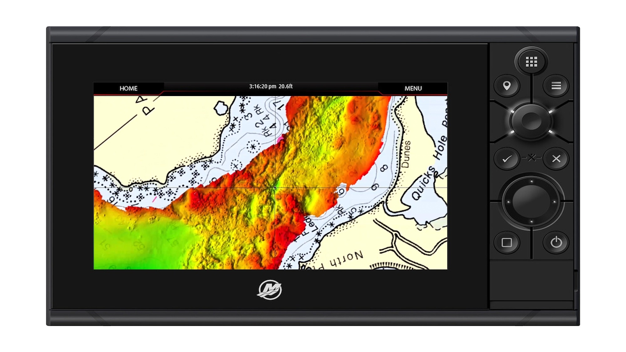
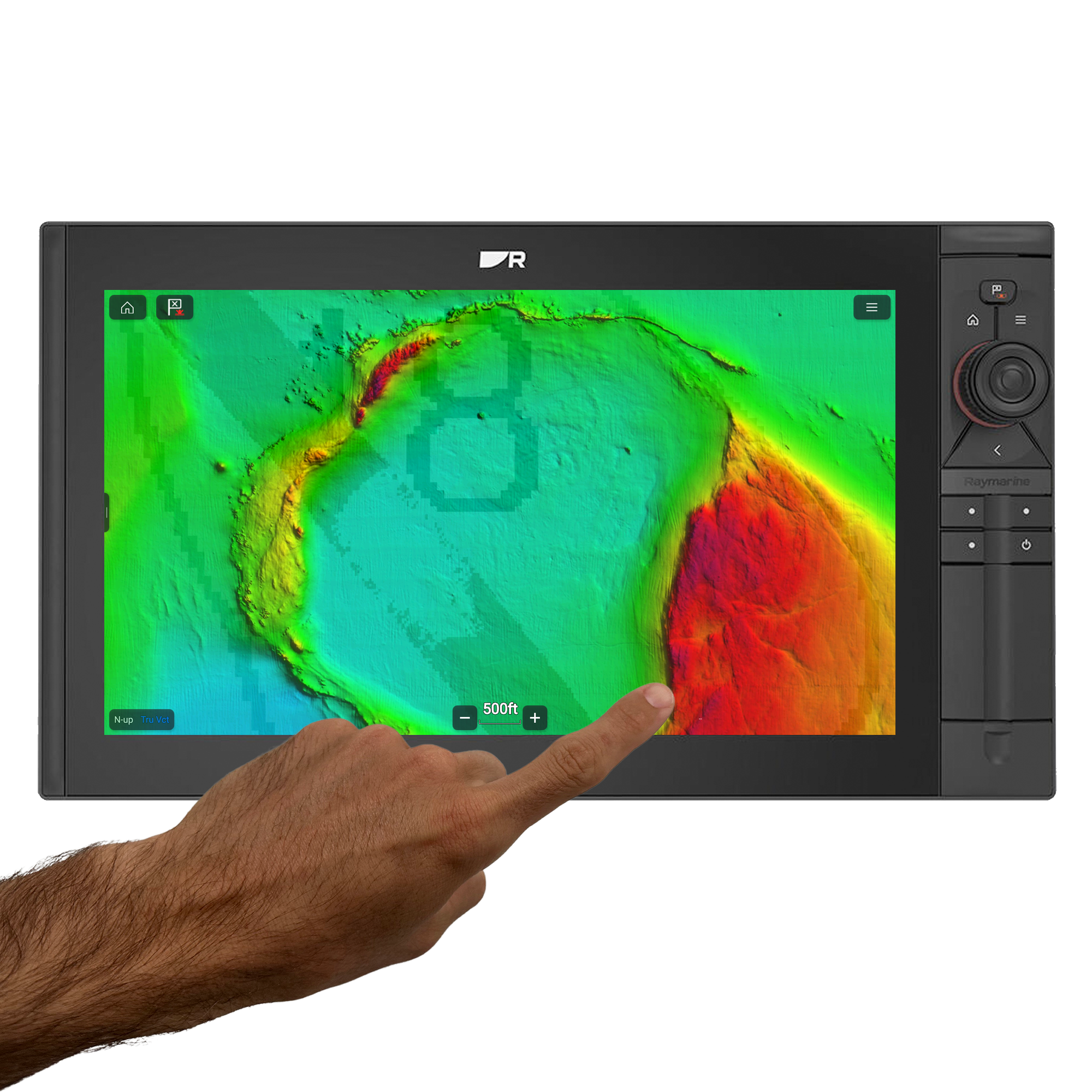
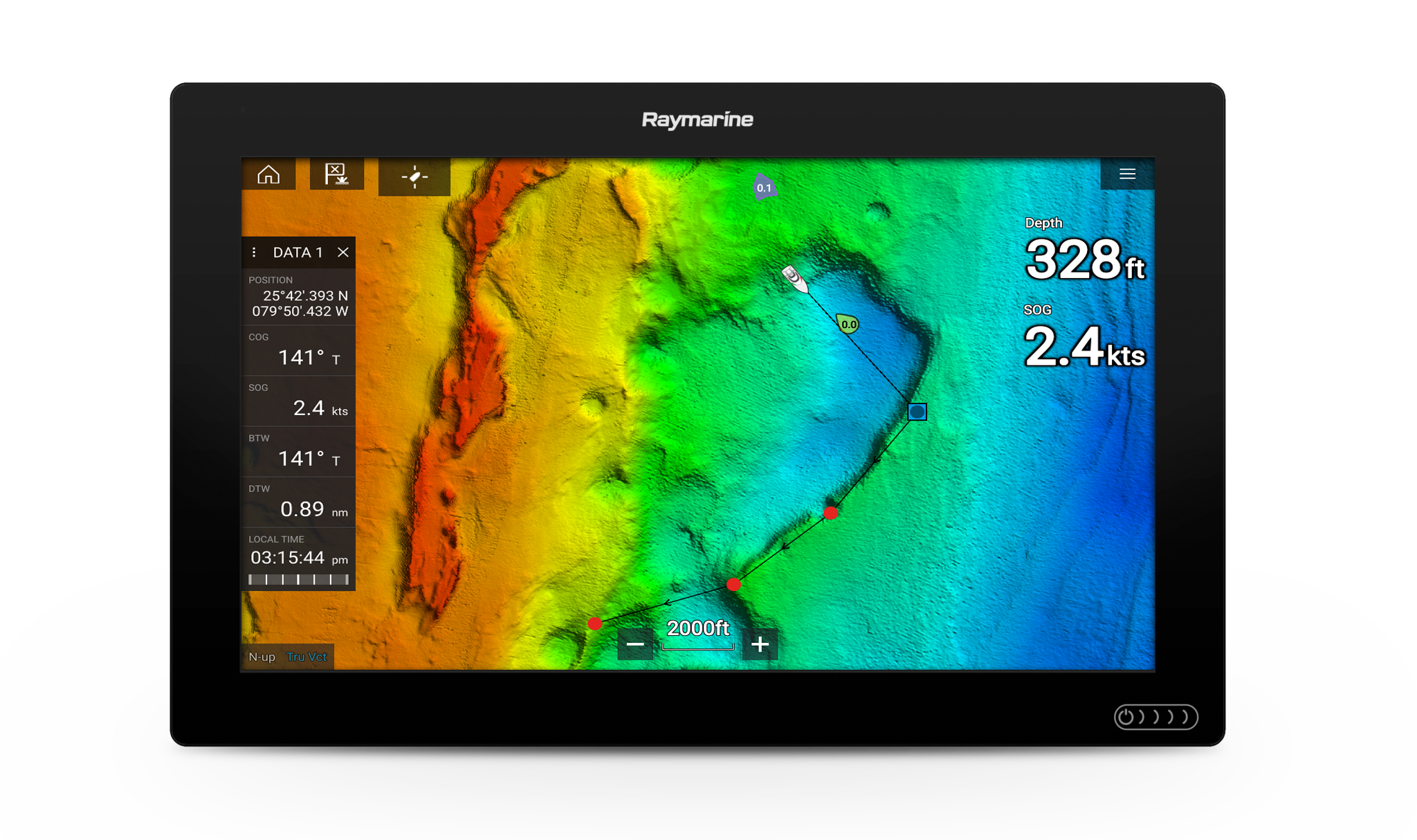
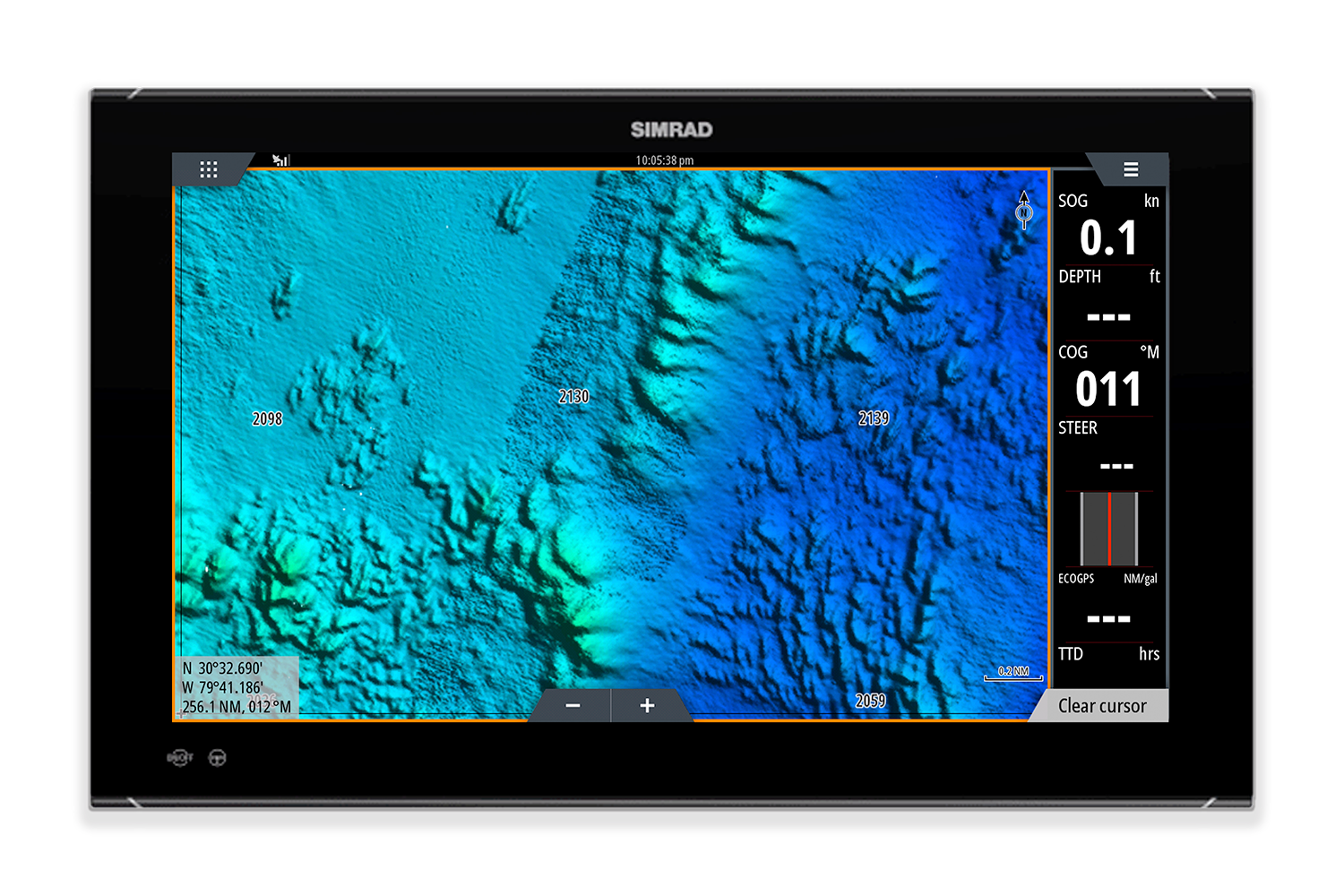
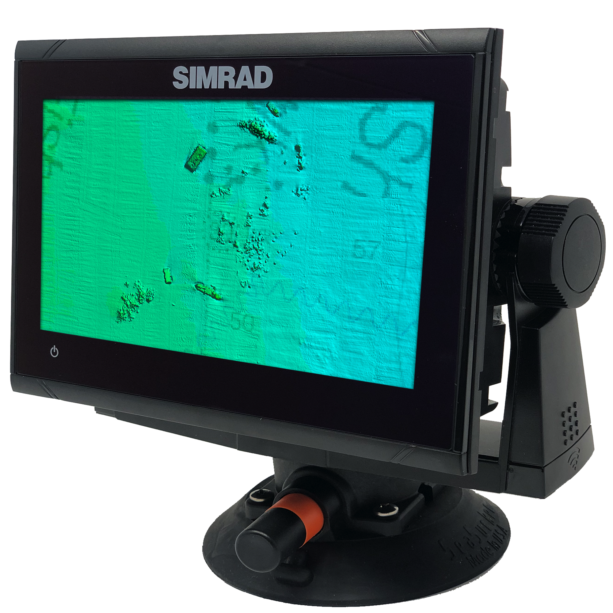
CMOR Mapping’s game-changing, high-resolution bathymetric imagery for Simrad, Lowrance, Raymarine, and Furuno chartplotters and Mercury VesselView displays brings the ocean floor into an entirely new level of focus for anglers and divers.
Complete Coverage
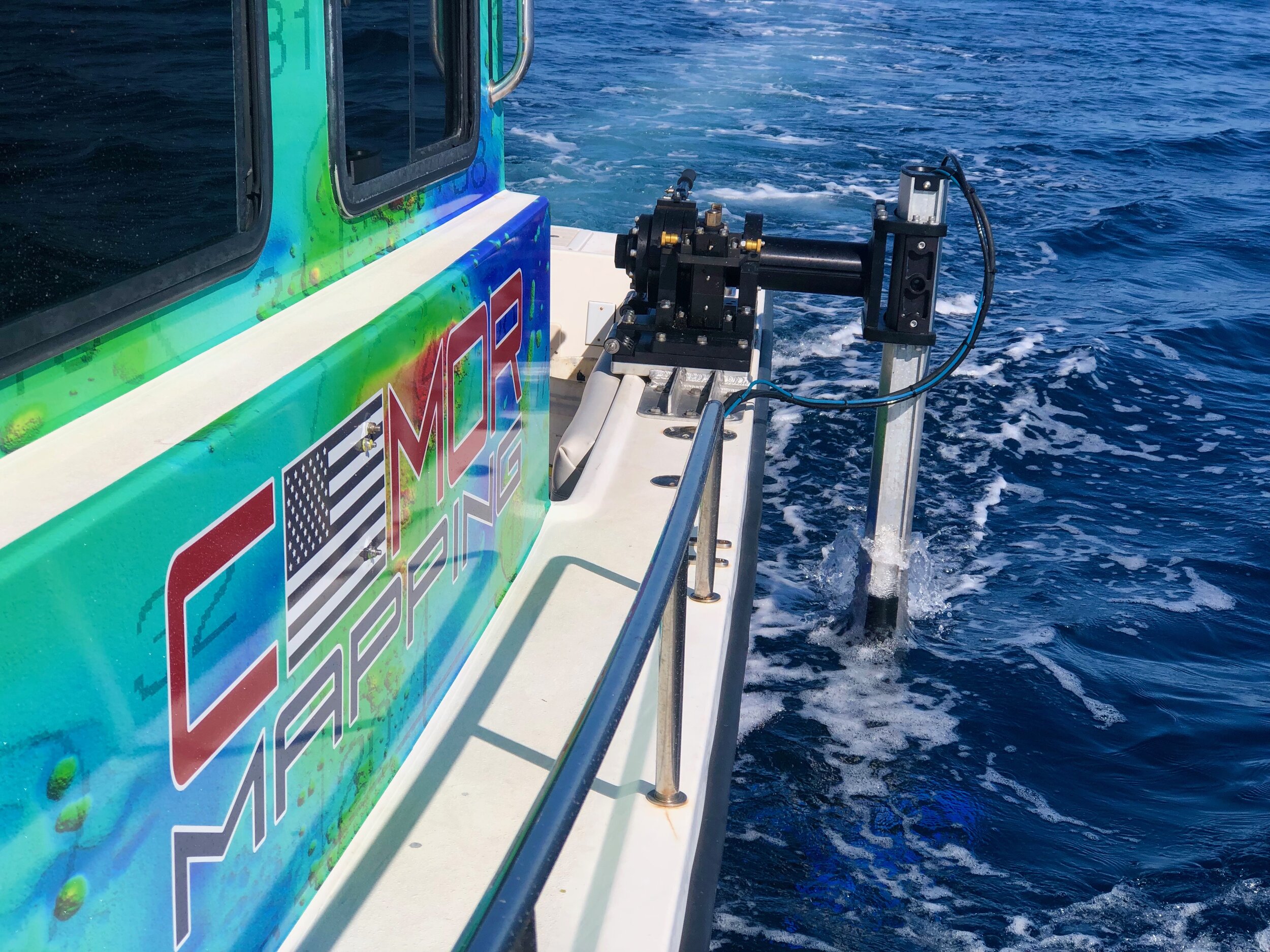
CMOR Mapping data comes from methodical surveys of the entire bottom with high-resolution echosounders — not point soundings and historical records.
Unprecedented Detail
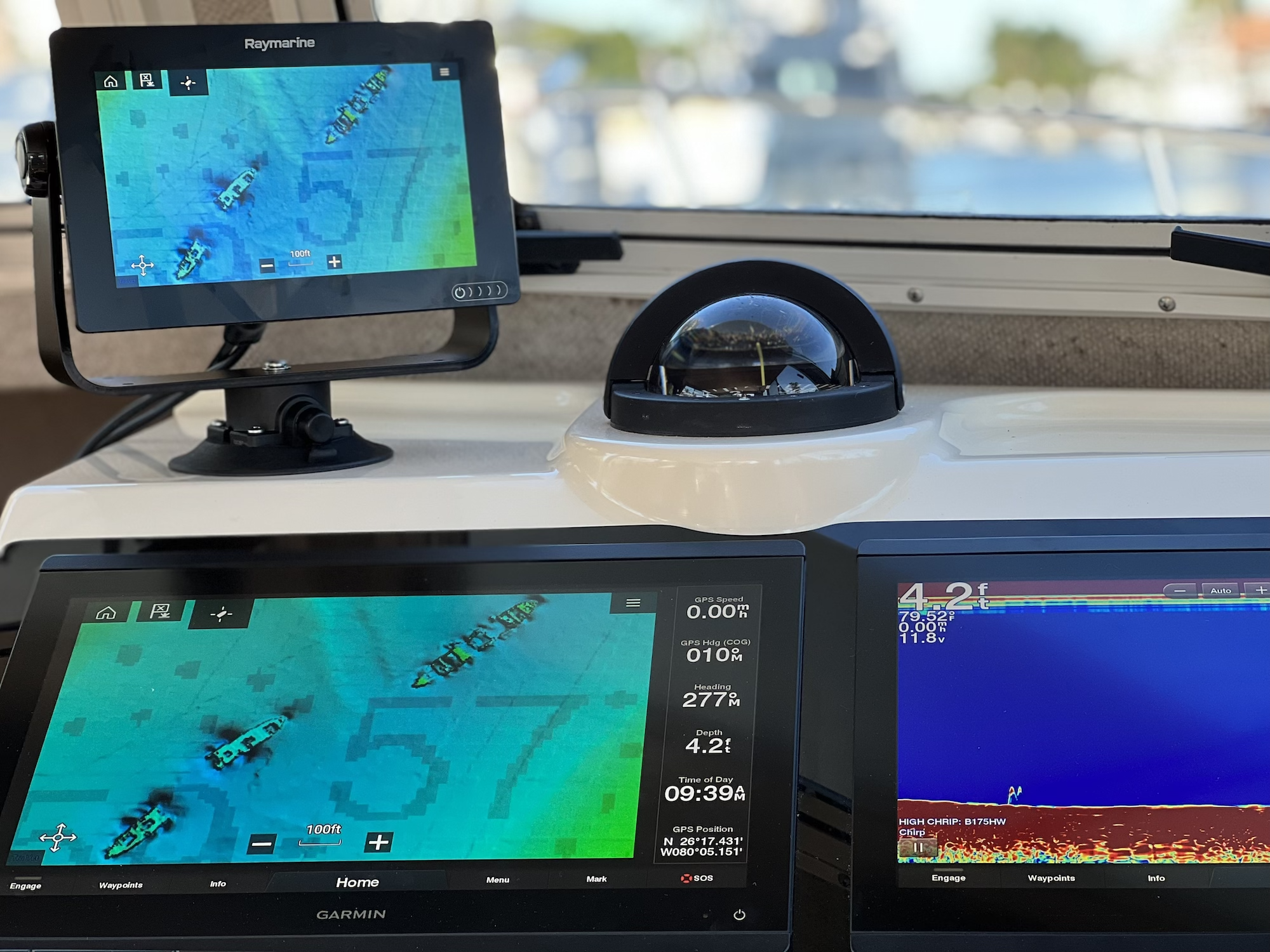
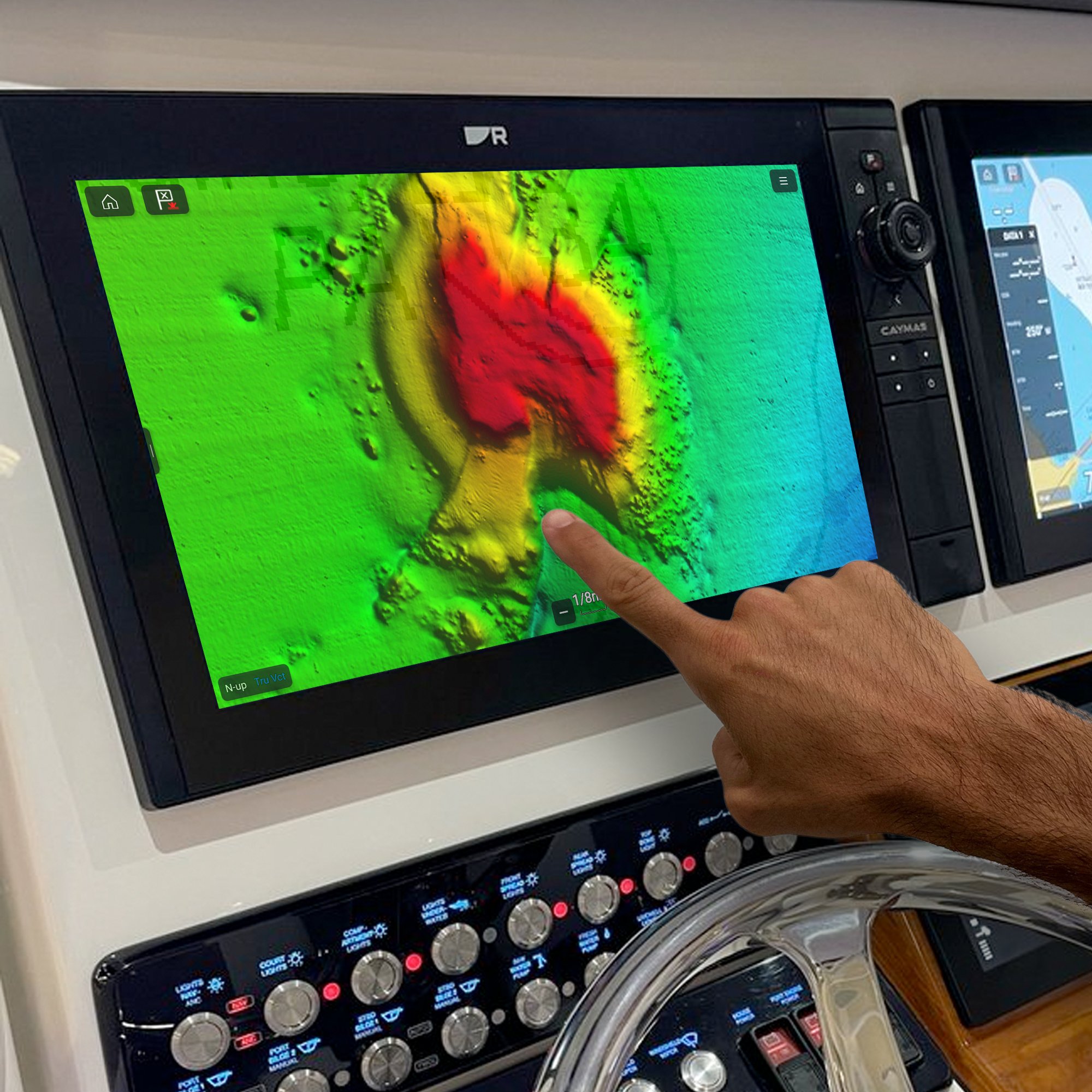
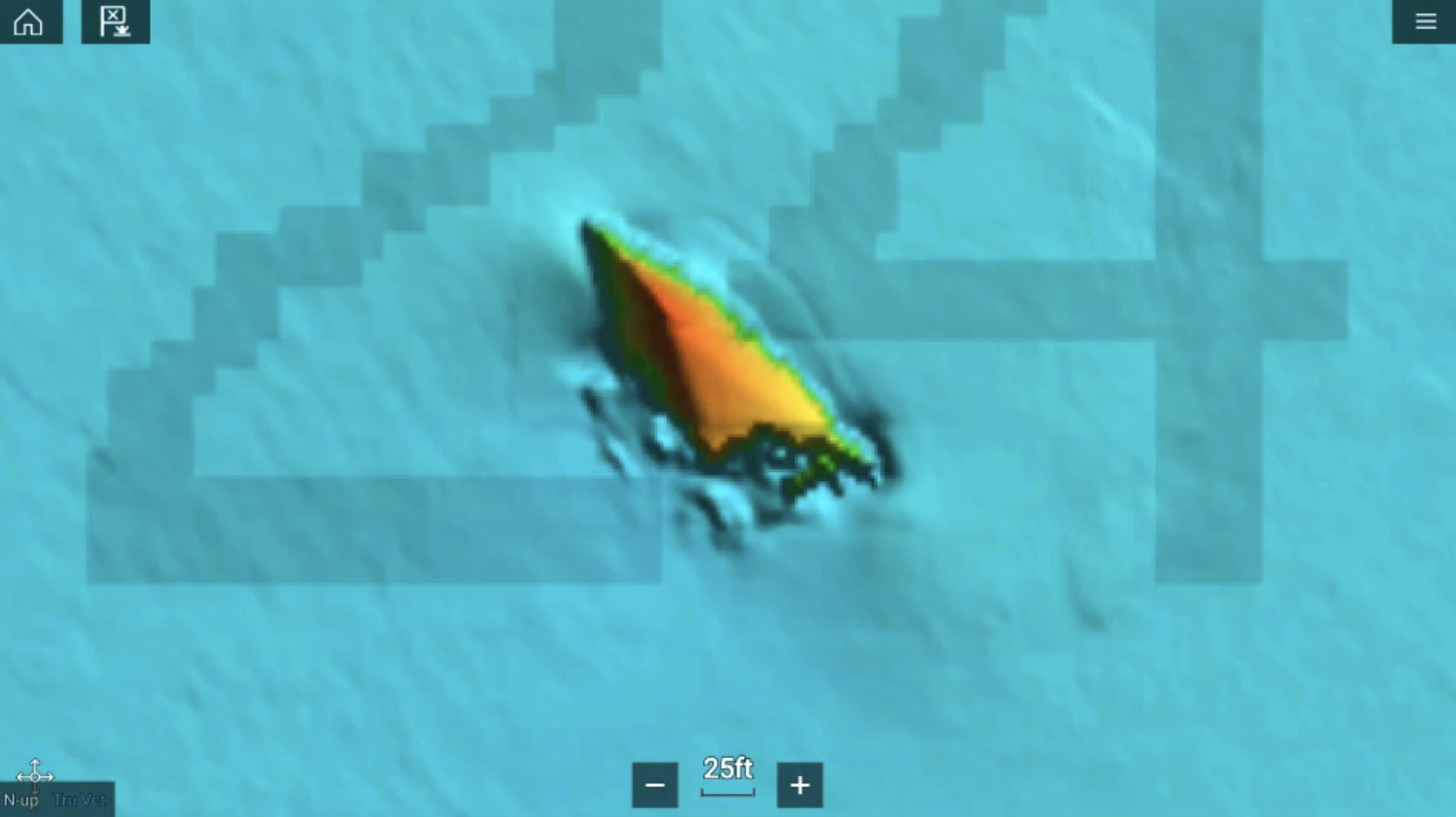
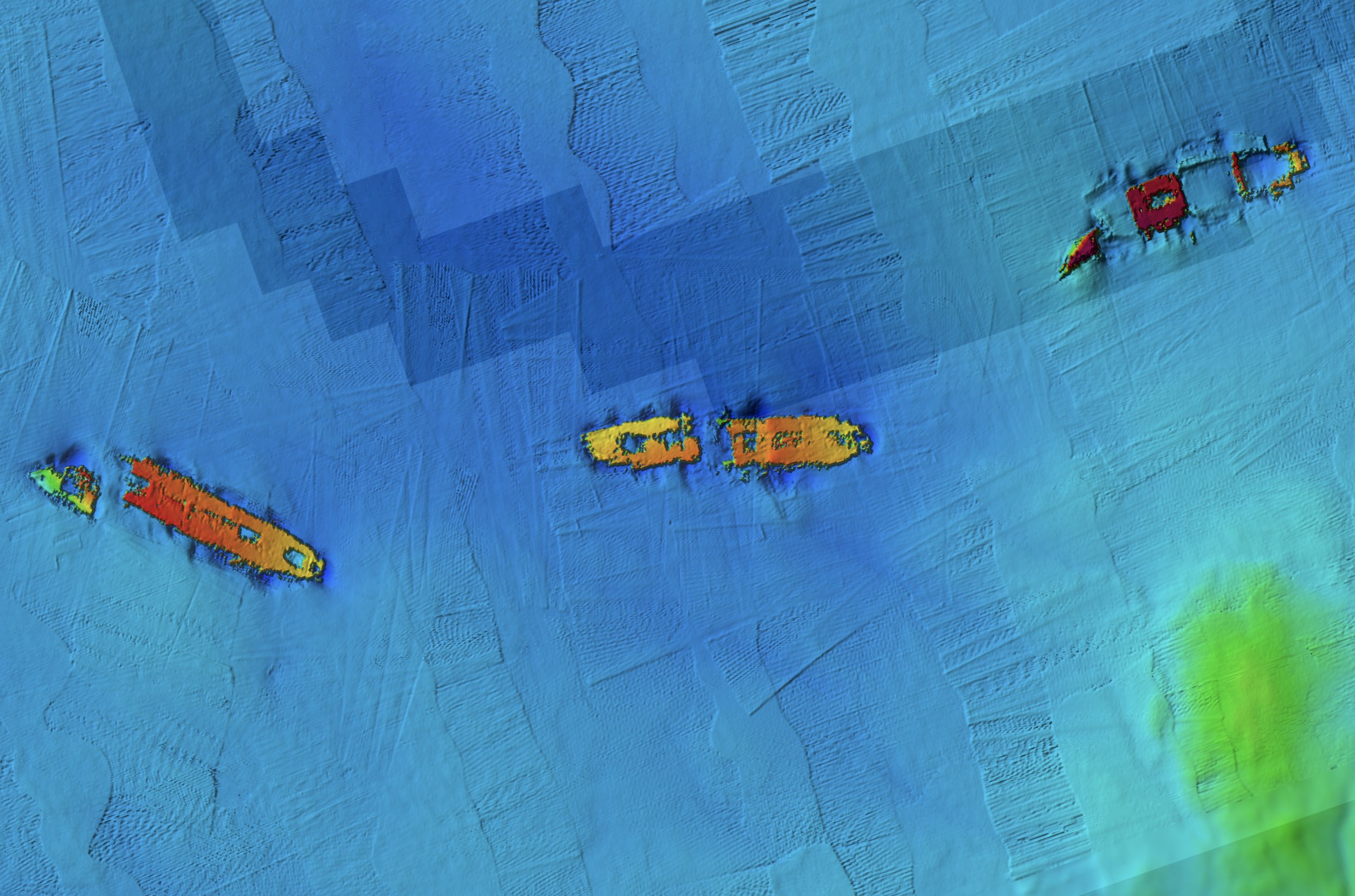
With resolution as high as 1 meter — meaning each pixel equals a square meter of bottom — we show you every ledge, coral head, and sunken culvert in unprecedented detail.
Seamless Compatibility
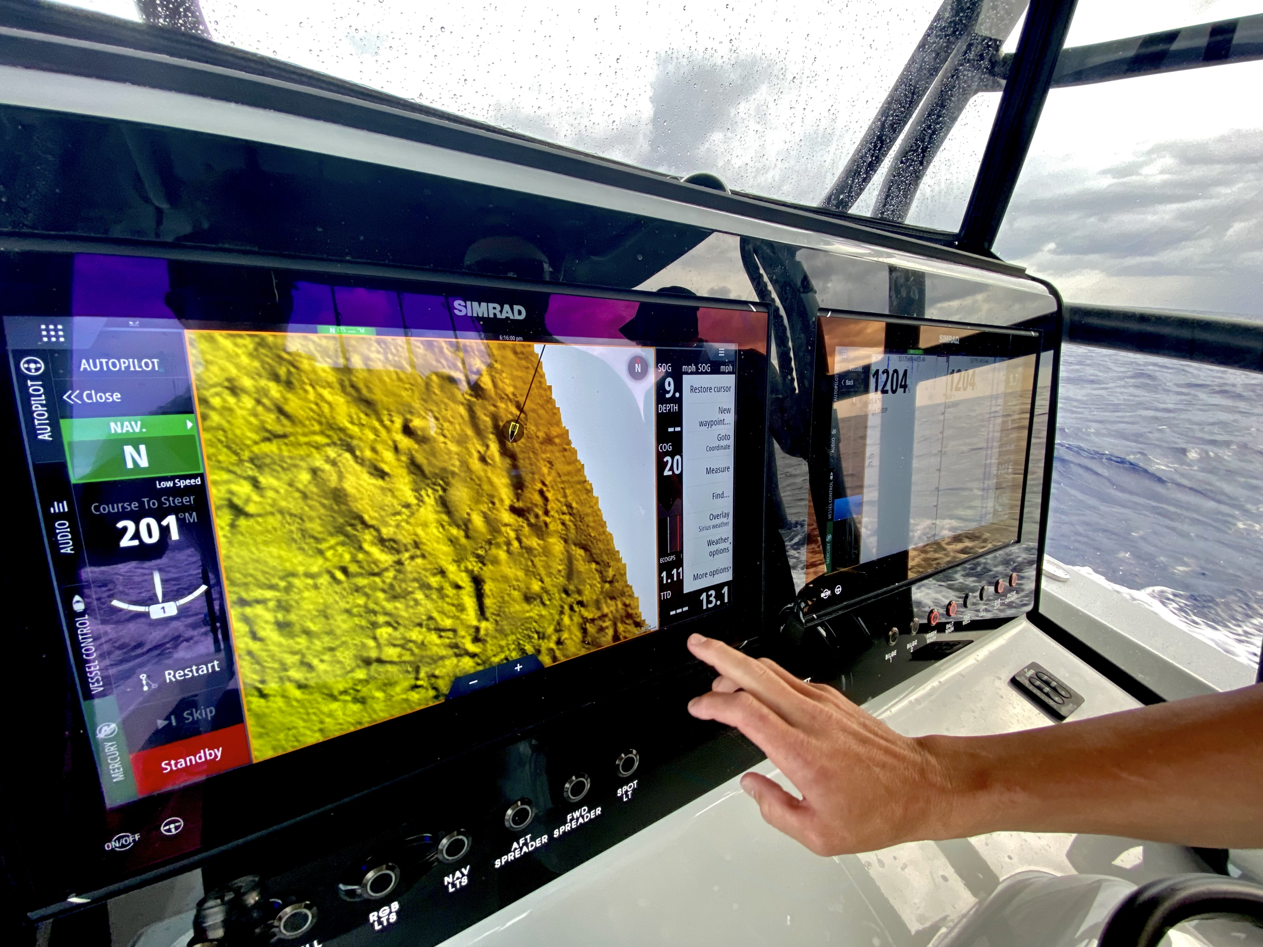
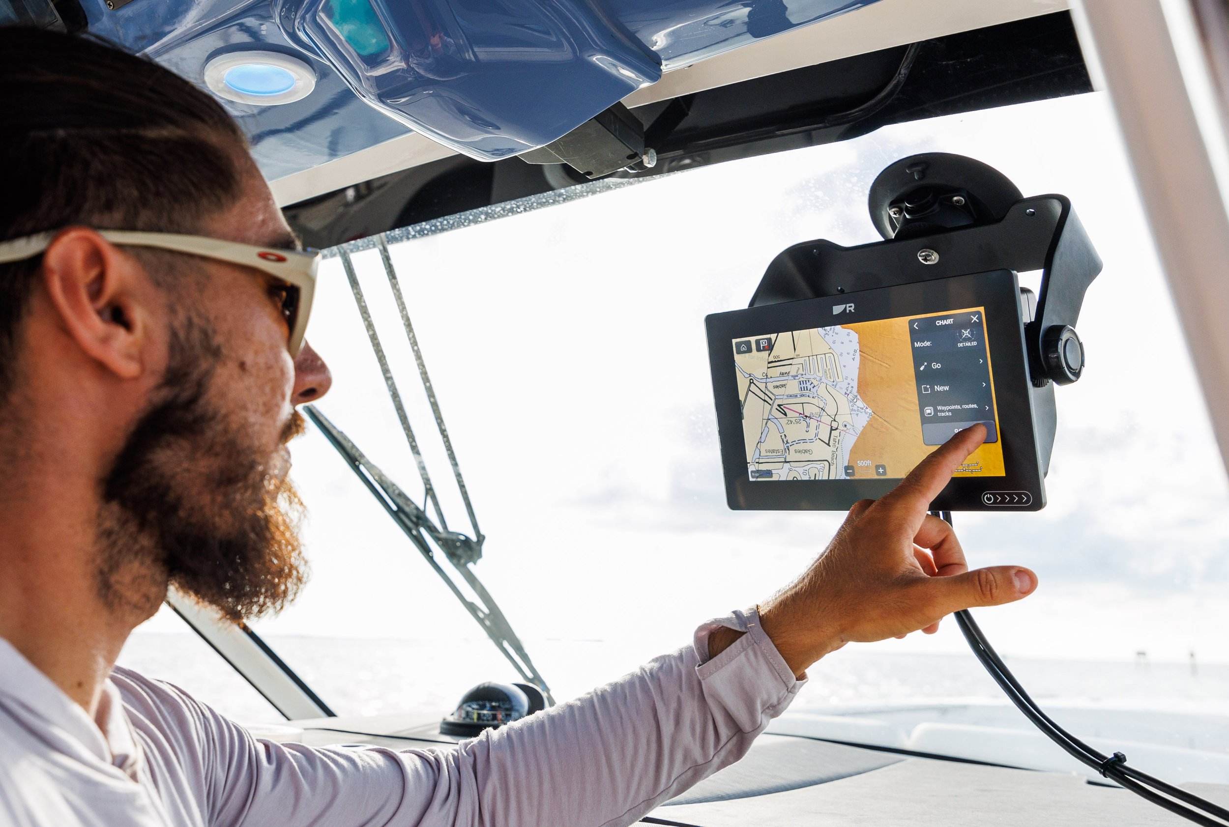
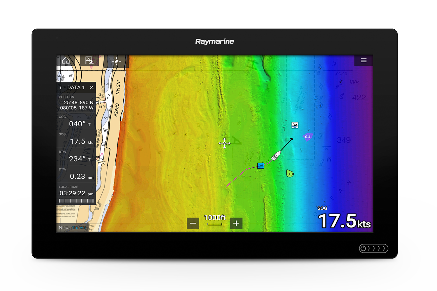
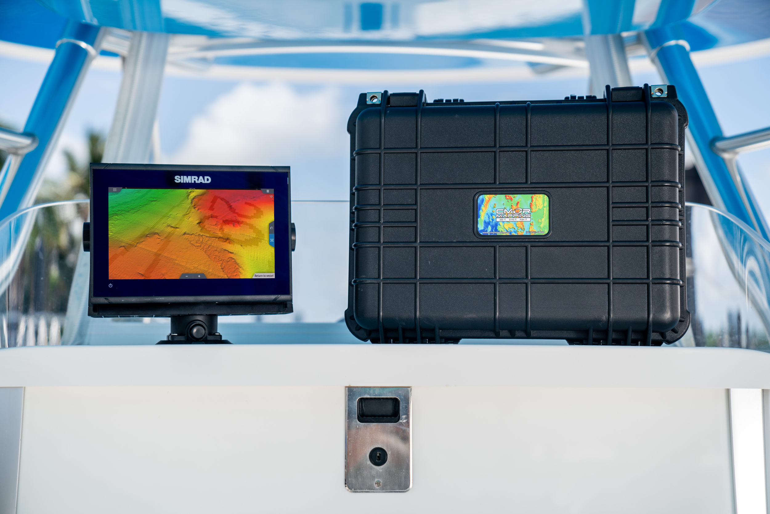
Just insert a CMOR Mapping card into your plotter and zoom in to see bathymetric imagery. Your vessel icon shows your exact location relative to bottom features.
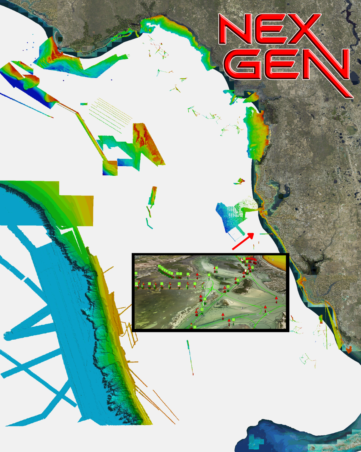
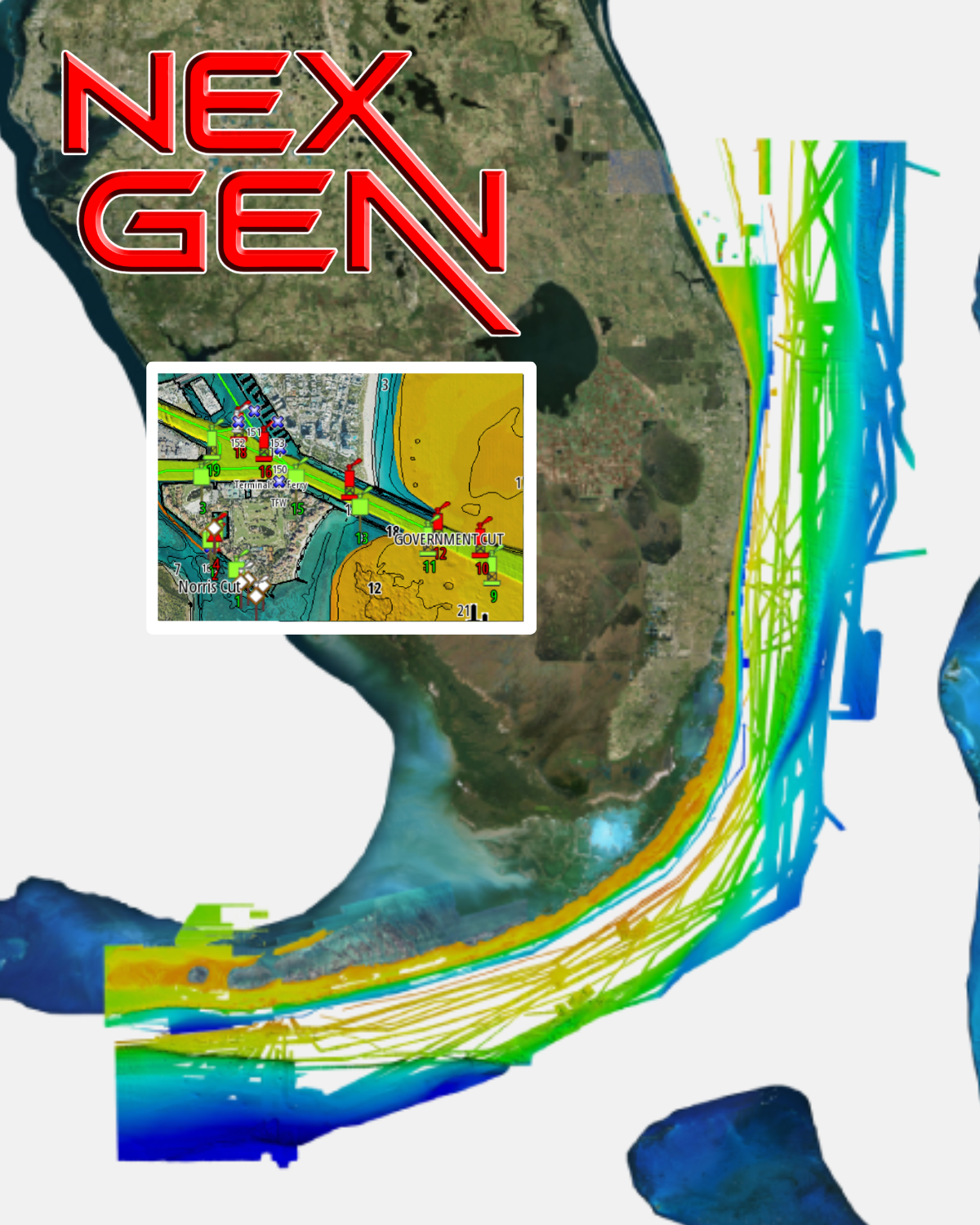
CHECK OUT THE ALL NEW CMOR NEX GEN V6
Current Coverage Areas
Please note that resolution of map overlays has been intentionally degraded.
Click your region to view a high resolution CMOR Chart demo gallery.
CMOR Cards
Industry-Leading Shaded Relief Imagery
Compatibility Solutions
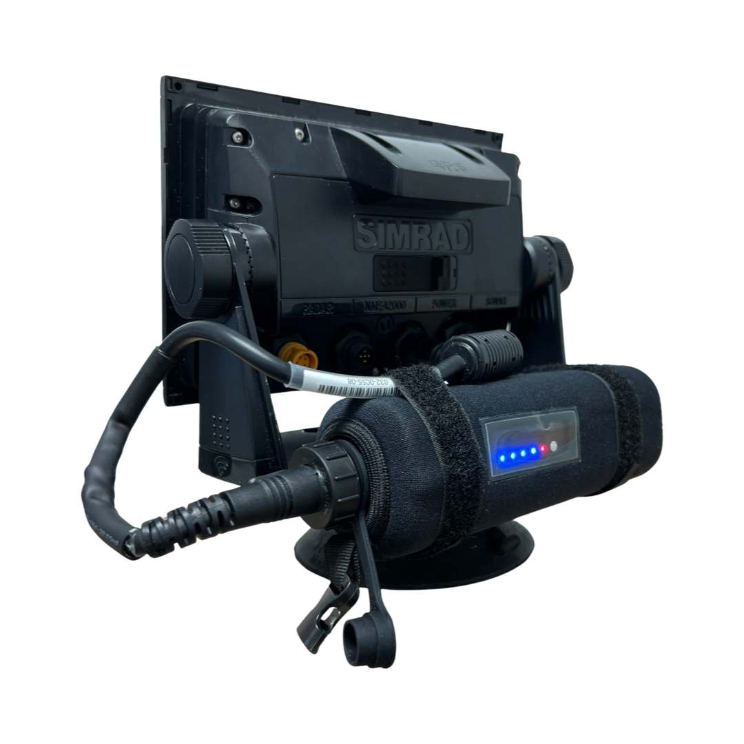
Run CMOR Anywhere with Garmin Processor Kits and Portable Map Paks
Marine Electronics & Accessories
Great Prices on a Curated Selection of MFDs and Accessories
Keep Up With CMOR Mapping
The CMOR Team is constantly expanding coverage, updating compatibility, introducing new products and offering additional services. To keep up with the latest by email, please provide your name, email and other optional information below.

